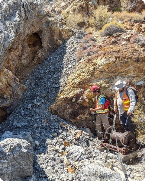
CopAur

Troy Canyon

The Troy Canyon silver gold project

The Troy Canyon Gold–Silver Project is located in the Grant Range of eastern Nye County, Nevada, approximately 150 km east of Tonopah. The project consists of 59 contiguous, unpatented mineral claims covering 493 hectares, centered near the historic Locke Mine. High-grade gold mineralization occurs within massive quartz veins, vein breccias, and narrower sheeted vein and stockwork zones. The quartz system is exposed for approximately 300 metres along a sheared, north-trending contact between Cambrian-age recrystallized limestone (hanging wall) and Tertiary quartz monzonite of the Troy pluton (23 Ma) (footwall).

The Troy Canyon Gold–Silver Project has seen limited modern exploration and is a former small-scale producer. Gold mineralization was first identified at the project in 1867, and small-scale mining commenced in 1869. The most recent mining took place from 1948 to 1950, during which 643 ounces of gold and 660 ounces of silver were reportedly produced from 1,859 tons of mineralized rock, at an average grade of 11.83 g/t gold (0.345 oz/t Au) and 12 g/t silver (0.355 oz/t Ag).

Recent assessments (late 1980s to early 2000s) by multiple companies included sampling of surface and underground quartz exposures, mine dumps, mineral processing facilities, and tailings piles. In 2004, Miranda Gold Corp. reported that stopes were developed on multiple “stacked,” north-trending, moderately east-dipping veins. Three of 13 underground stope rock grab samples reportedly returned 47.8 g/t gold, 48.4 g/t gold, and a high of 576 g/t gold* (16.8 oz/ton Au). The remaining ten samples collected from underground stope and adit-wall outcrops reportedly ranged from <1 g/t gold to 8.8 g/t gold, and from 0 g/t silver to 27 g/t silver.


* Grab samples are selective by nature and may not be representative of the broader mineralization.

In 2007, Portage Minerals Inc. completed a multi-parameter exploration program that included a property-wide soil geochemical survey, focused IP/Resistivity and CSAMT surveys, and rock-chip sampling and surveying of the main Locke Mine underground workings. The soil geochemical program identified several zones of anomalous gold outside the mine area, along with a strong northwest-trending IP anomaly in the southeast part of the survey area.

Gold mineralization is associated with grey, late-stage vuggy, “sugary,” limonitic quartz with minor sphalerite, galena, and arsenopyrite, and a reported gold–bismuth correlation suggests the mineralization may be part of an intrusive-related mesothermal gold vein system. Compiled data for the Troy Canyon Project reference only one exploration drill hole, which was reportedly terminated in mineralized limestone before reaching the vein.